Place Interaction and Polygon Styling
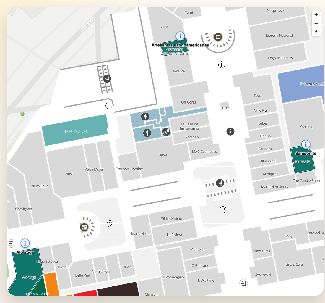
Places are the core data model behind indoor maps. This example covers searching, selecting, and visually highlighting places on the map — the foundation for any directory or wayfinding UI.
It uses these place-centric APIs:
getInstitutionsgetPlacesByInputsearchPlacesByTagsgetPlaceDetailstartClickListenersetPlacesAsSelectedaddBorderToPlaces
Setup
import { initializeSDK } from "@mapvx/web-js"

const sdk = initializeSDK("<YOUR_API_KEY>", { lang: "es" })

const map = sdk.createMap(document.getElementById("map") as HTMLElement, {
  center: { lat: 4.666918, lng: -74.053065 },
  zoom: 17,
  onMapReady: () => {
    console.log("Ready for place interactions")
  },
})
Fetch institutions
Use institutions when search results should be scoped to a specific client or campus.
const institutions = await sdk.getInstitutions()
const institution = institutions[0]
Search places by user input
const results = await sdk.getPlacesByInput(
  "coffee",
  institution.mapvxId,
  "<OPTIONAL_PARENT_PLACE_ID>"
)

results.forEach((place) => {
  console.log(place.mapvxId, place.title)
})
To bias results with a coordinate and floor:
const nearbyResults = await sdk.getPlacesByInput(
  "restroom",
  institution.mapvxId,
  "<PARENT_PLACE_ID>",
  [],
  "search-panel",
  "4.666918",
  "-74.053065",
  "<FLOOR_ID>"
)
Search places by tags
searchPlacesByTags matches places against one or more
tags (combined with OR semantics on the server) instead of free text. It’s the right fit for
category filters — e.g. “show every place tagged coffee or restaurant”.
const tagResults = await sdk.searchPlacesByTags(institution.mapvxId, ["coffee", "restaurant"])Sort the results alphabetically instead of by relevance:
const alphabetical = await sdk.searchPlacesByTags(institution.mapvxId, ["restroom"], {
  sort: "alphabetical",
})
To sort by distance, provide either a reference origin place id or the combination of lat +
lng + floor + parentPlaces — searchPlacesByTags throws if neither is present:
// From a known reference place (e.g. a totem)
const nearestFromTotem = await sdk.searchPlacesByTags(institution.mapvxId, ["restroom"], {
  sort: "distance",
  origin: "<TOTEM_PLACE_ID>",
})

// From an explicit coordinate + floor
const nearestFromCoordinate = await sdk.searchPlacesByTags(institution.mapvxId, ["restroom"], {
  sort: "distance",
  lat: "4.666918",
  lng: "-74.053065",
  floor: "<FLOOR_ID>",
  parentPlaces: ["<PARENT_PLACE_ID>"],
})
Highlight polygons
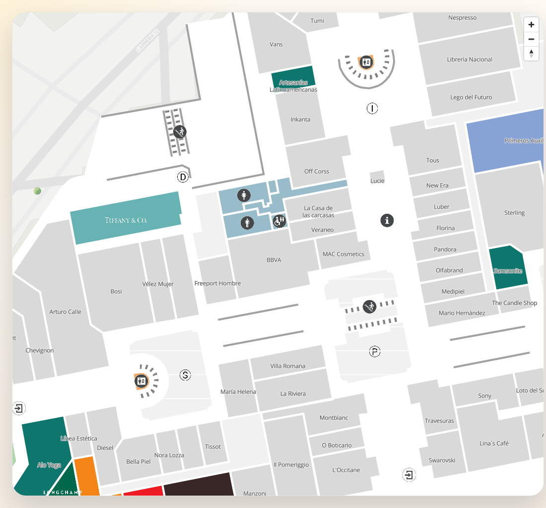
map.setPlacesAsSelected(["<PLACE_ID>"])
map.setPlacesAsSelected(["<PLACE_A>", "<PLACE_B>"], "#0F766E")
Clear the color layer when needed:
map.clearColoredPlaces()Add borders to the same polygons
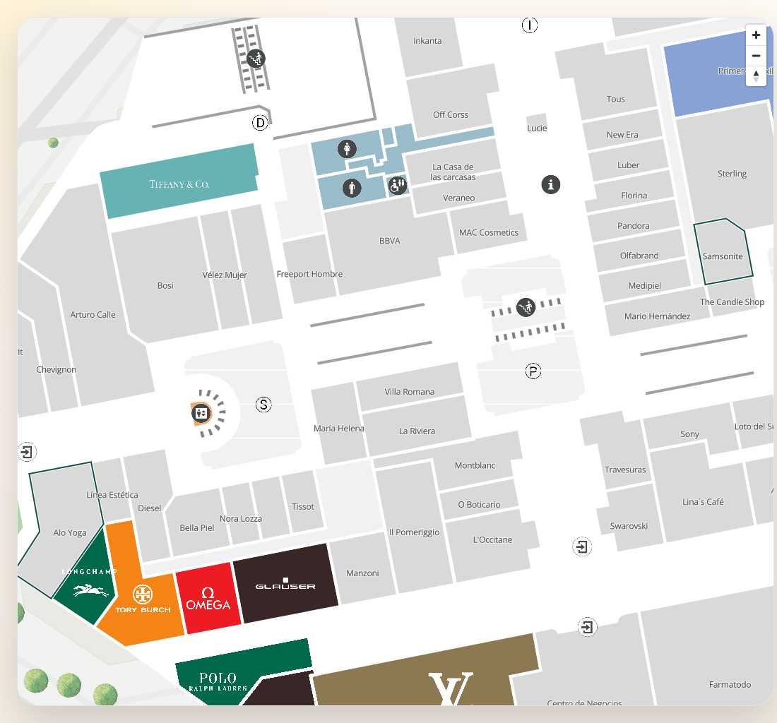
map.addBorderToPlaces(["<PLACE_ID>"])
map.addBorderToPlaces(["<PLACE_A>", "<PLACE_B>"], "#134E4A", 2)
Clear borders independently:
map.clearBorderedPlaces()Click real places on the map
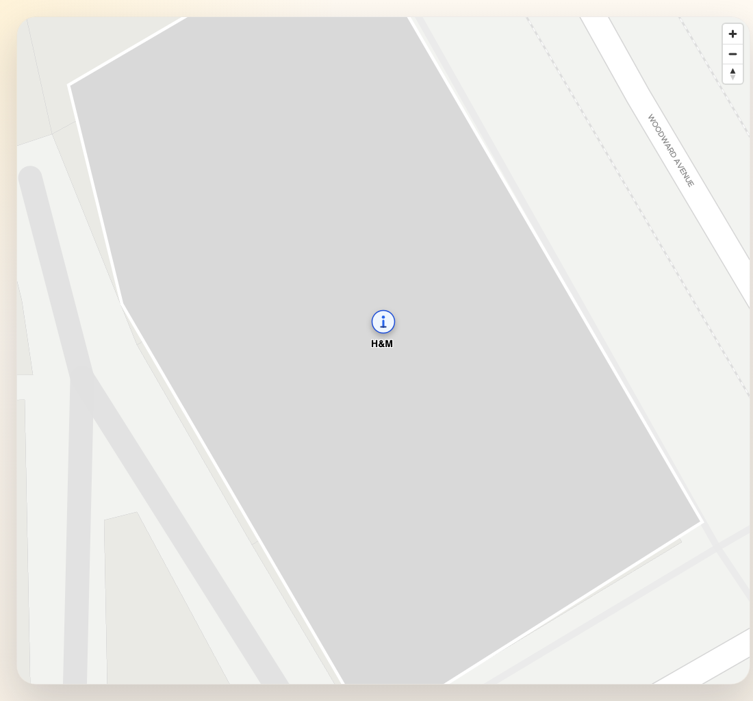
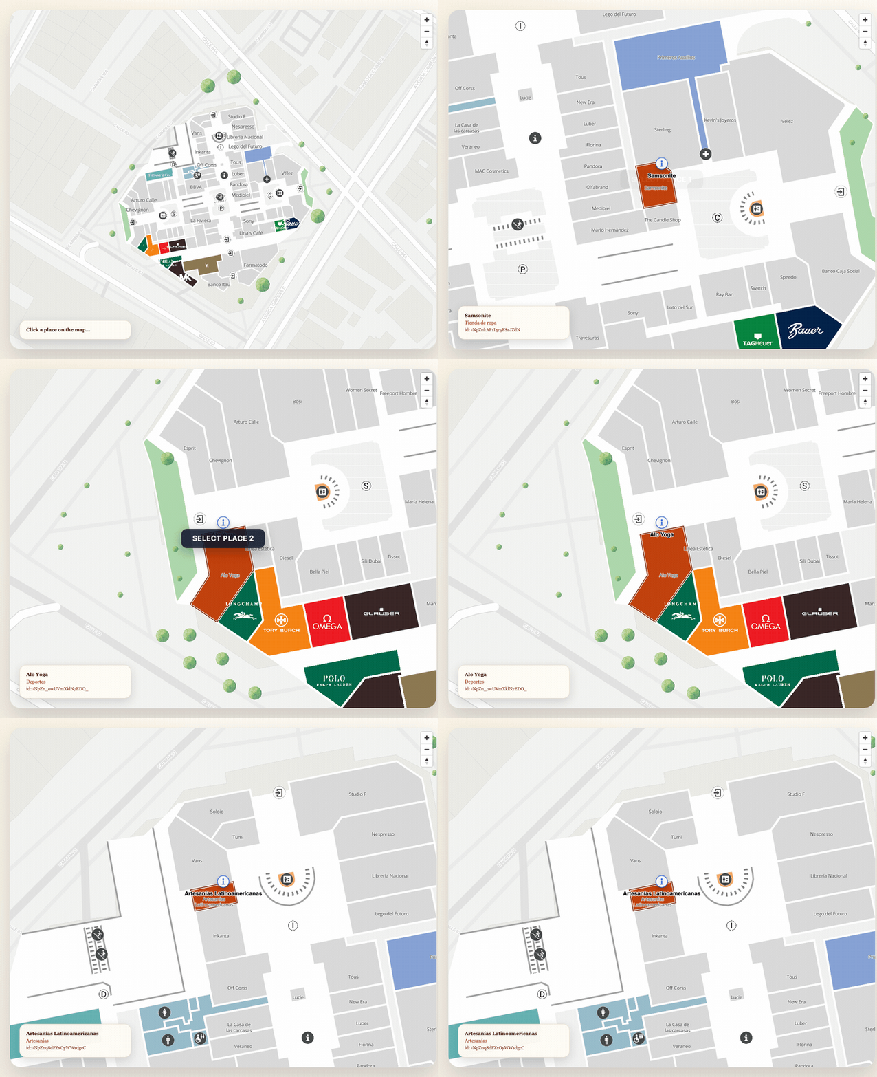
The click listener returns the MapVX ID of the clicked polygon on the active floor.
map.startClickListener(async (placeId: string) => {
  const place = await sdk.getPlaceDetail(placeId)

  map.setPlacesAsSelected([placeId], "#C2410C")
  map.addBorderToPlaces([placeId], "#7C2D12", 2)

  console.log("Clicked place", {
    id: place.mapvxId,
    title: place.title,
    floor: place.inFloors?.[0] ?? "outdoor",
  })
})
Stop listening when the flow ends:
map.stopClickListener()Indoor and outdoor behavior
Indoor
- prefer
parentPlaceIdincreateMap - use
place.inFloors?.[0]to understand the visible floor - combine search, polygon styling, and floor changes
Outdoor
- no
parentPlaceIdis required getCurrentFloor()stays empty- polygon clicks and
isInsideBoundsstill work as expected
Combined search and highlight flow
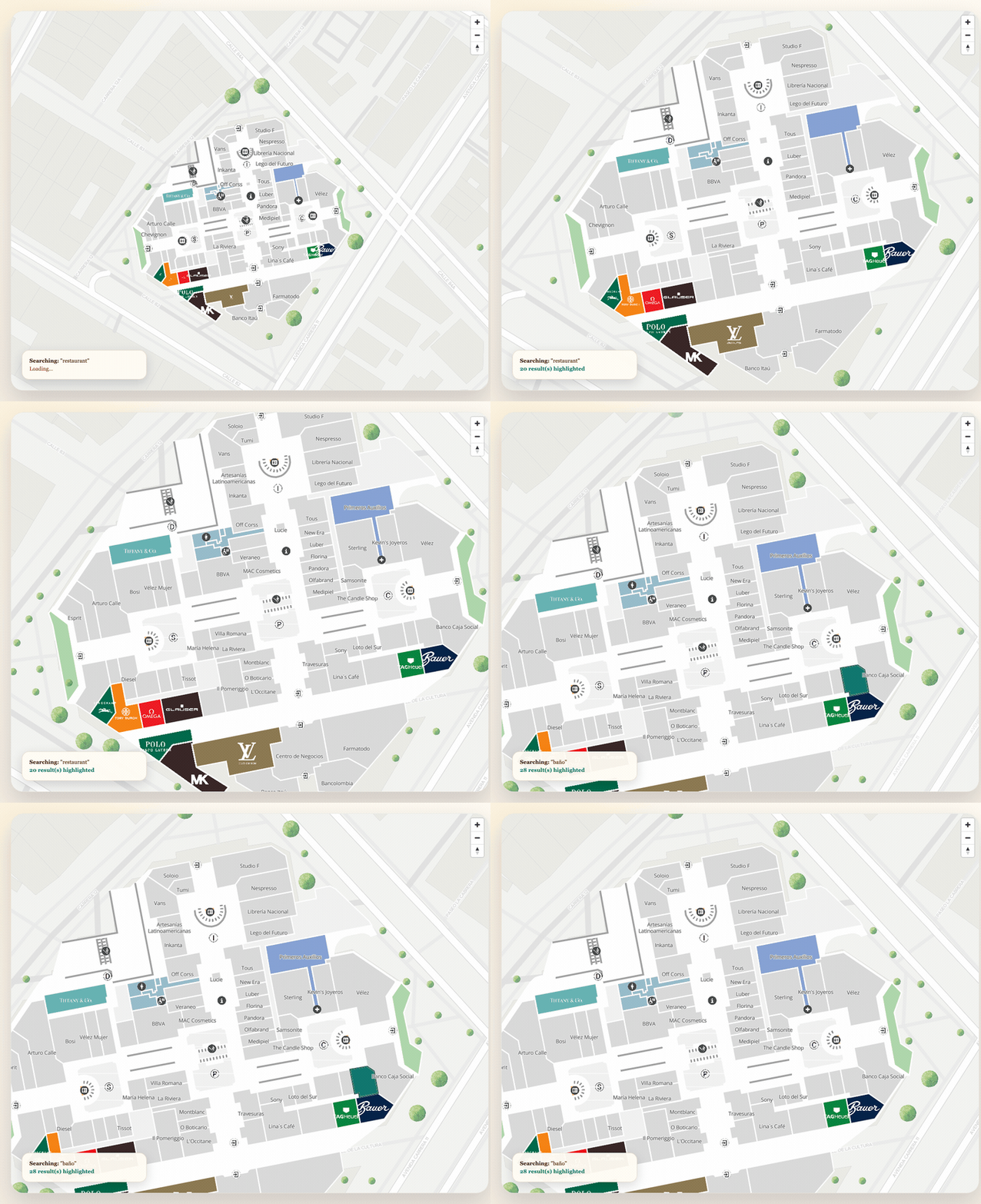
async function searchAndHighlight(query: string): Promise<void> {
  const results = await sdk.getPlacesByInput(query, institution.mapvxId)

  if (results.length === 0) {
    map.clearColoredPlaces()
    map.clearBorderedPlaces()
    return
  }

  // Limit visible results to avoid visual clutter
  const topResults = results.slice(0, 5)
  const ids = topResults.map((place) => place.mapvxId)

  map.setPlacesAsSelected(ids, "#0F766E")
  map.addBorderToPlaces(ids, "#134E4A", 2)

  // Fit the map to show all highlighted places
  const coords = topResults.filter((p) => p.position).map((p) => p.position)
  if (coords.length > 0) {
    map.fitCoordinates(coords, {
      padding: { top: 60, right: 60, bottom: 100, left: 60 },
      maxZoom: 19,
    })
  }
}
If the next step in the user flow is to drop markers or build a route from the selected place, use Places, Markers, and Routes.